The dismantling of the walls and the first extension of Donostia
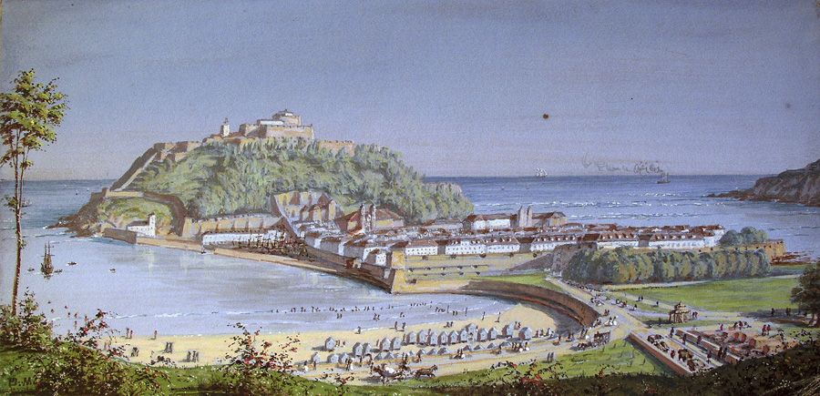
Being a fortified military town severely limited the urban development of San Sebastián. Military demands limited growth not only within the walled area but also in the areas outside the walls such as San Martín, because a hypothetical enemy could make use of any buildings constructed next to the wall.
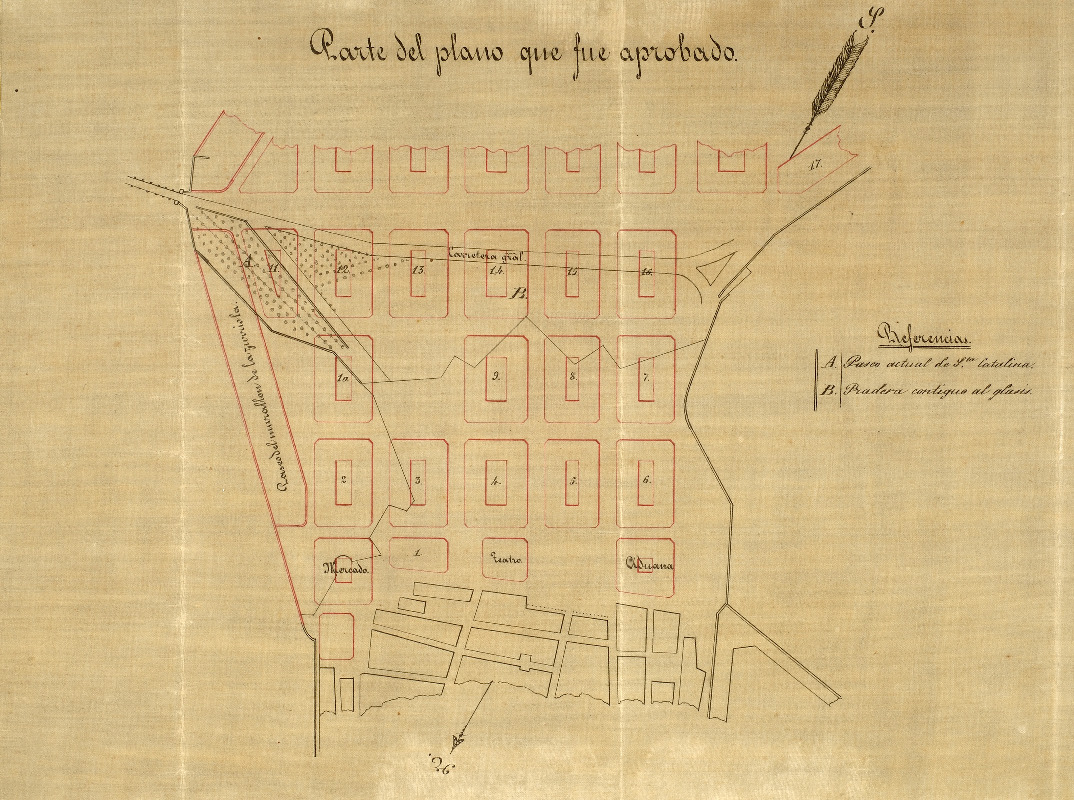
After the First Carlist War, population growth in Donostia put pressure on the authorities to dismantle the walls. In the middle of the century, San Sebastián had some 15,000 inhabitants, of whom 10,000 lived within the walls in an area of 10 hectares and the rest in districts such as San Martín, Antiguo, Astigarraga and Herrera. Faced with the necessity for space in order to develop, on April 22, 1863 the dismantling of the walls was authorized and, under a Royal Order, the city ceased to be a fortified town. Not only did this create more space, it became the motor of the urban, economic and social development of San Sebastián.
That same year, the Competition for Projects for the Extension of the city was held. Under the plan proposed by the winning architect Antonio de Cortázar, there would be 70 hectares of extension. Two years later, in 1865 the construction of the Southern Extension of San Sebastián began, although not without controversy. According to Cortázar’s project, new buildings would go up as an immediate continuation of the old city, but a proposal was put forward to create an avenue that would form a public space between the old and the new parts. The controversy divided the city into two camps. The pro-avenue and anti-avenue camps published numerous pamphlets in favour of their respective proposals. Finally, after a tied vote, the mayor used his casting vote in favour of the avenue, which is today’s Boulevard.
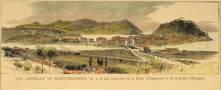
The second extension, also designed by Cortázar, was built between 1873 and 1882 and extended to the calle Prim. The architect Goicoa designed the third extension, between 1883 and 1886, which extended to the calle Easo. In 1890 work began on the Gros or Zurriola extension in the sandy areas that lay between the Urumea river and the slope of mount Ulia. Later, industrial development led to the urbanization of the right bank and the establishment of the working-class areas of Gros and Egia, while the left bank was developed into what is now Amara.

